Land Digital Survey
Land Digital Survey
Complete Land Documentation Solutions Under One Roof
At Sahasra Bhu Survey & Documentation, we provide comprehensive land documentation services to help property owners, buyers, farmers, developers, and investors maintain clear, legally compliant, and verified land records.
Land documentation is one of the most important aspects of property ownership. Proper documentation helps establish legal ownership, prevents disputes, supports property transactions, and ensures compliance with government regulations.
Our experienced team assists clients in obtaining, verifying, updating, and managing all types of land-related documents with accuracy and transparency.
What is Land Documentation?
Land documentation is the process of collecting, verifying, updating, and maintaining official records related to land ownership, boundaries, transactions, and legal status.
Proper land documentation helps:
 Establish clear ownership Verify property history Prevent legal disputes Facilitate buying and selling of land Support loan and registration processes Ensure government record compliance
Our Land Documentation Services
 Bhu Bharati Registration Services
We provide complete assistance for Bhu Bharati-related documentation and registration processes.
Services Include:
- Registration support
- Land ownership verification
- Record updation assistance
- Application processing support
 Mutation / Name Transfer Services
Mutation is the process of updating ownership records after property transfer, inheritance, gift deeds, or sale transactions.
Benefits:
- Official ownership recognition
- Updated government records
- Smooth future transactions
 Encumbrance Certificate (EC) Services
We assist clients in obtaining and verifying Encumbrance Certificates.
Benefits:
- Check property transaction history
- Verify legal status
- Confirm absence of liabilities or claims
 ROR, Pattadar Passbook & Land Records
We help clients access and verify:
- Record of Rights (ROR)
- Pattadar Passbook
- Ownership Records
- Revenue Records
- Survey Records
 Historical Land Records
Our team assists in retrieving and analyzing historical land records from 1954 to the present.
Services Include:
- Ownership history verification
- Survey history review
- Land transaction records
- Property background investigation
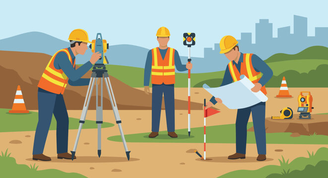
 Survey & Land Record Verification
We compare field survey data with official records to ensure consistency and accuracy.
Benefits:
- Identify discrepancies
- Confirm boundaries
- Reduce legal risks
 Legal Opinion & Property Verification
Before purchasing or developing land, professional verification is essential.
Our services include:
- Title verification
- Ownership verification
- Legal scrutiny of documents
- Property due diligence
- Risk assessment
 Property Documentation for Real Estate Projects
We support:
- Residential layouts
- Commercial projects
- Agricultural lands
- Industrial properties
- Real estate developments